Maps and Mapping
This corner of our shop holds atlases, cartographic studies, and works on exploration and survey. Each volume is a unique secondhand or antiquarian copy, often with historical maps, fold-outs, or plates that invite lingering over.
Showing all 8 results
-
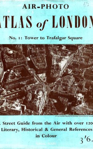
Air-Photo Atlas of London. No 1: Tower to Trafalgar Square, A Street Guide from the Air with Over with Over 1200 Literary, Historical & General References in Colour
$70.00 -
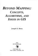
Beyond Mapping, Concepts, Algorithims, and Issues in GIS
$35.00 -
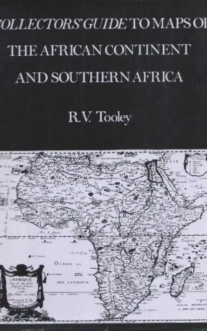
Collectors’ Guide to Maps of the African Continent and Southern Africa
$48.00 -
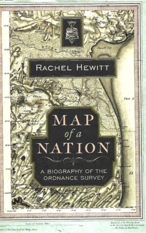
Map of a Nation, A Biography of the Ordnance Survey
$48.00 -
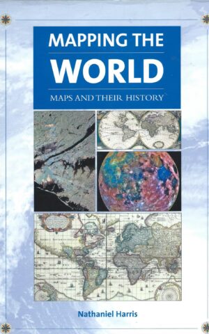
Mapping the World, Maps and their History
$38.00 -
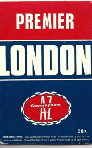
Premier London Centre Section of 9-Sheet Master Map Covering the Whole of the Greater London Council’s Administrative Area
$20.00 -
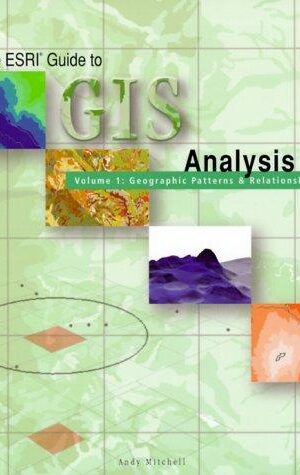
The ESRI Guide to GIS Analysis, Volume 1: Geographic Patterns & Relationships
$30.00 -
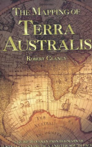
The Mapping of Terra Australis, A Guide to Early Printed Maps of Australia, Antarctica and the South Pacific
$70.00