Description
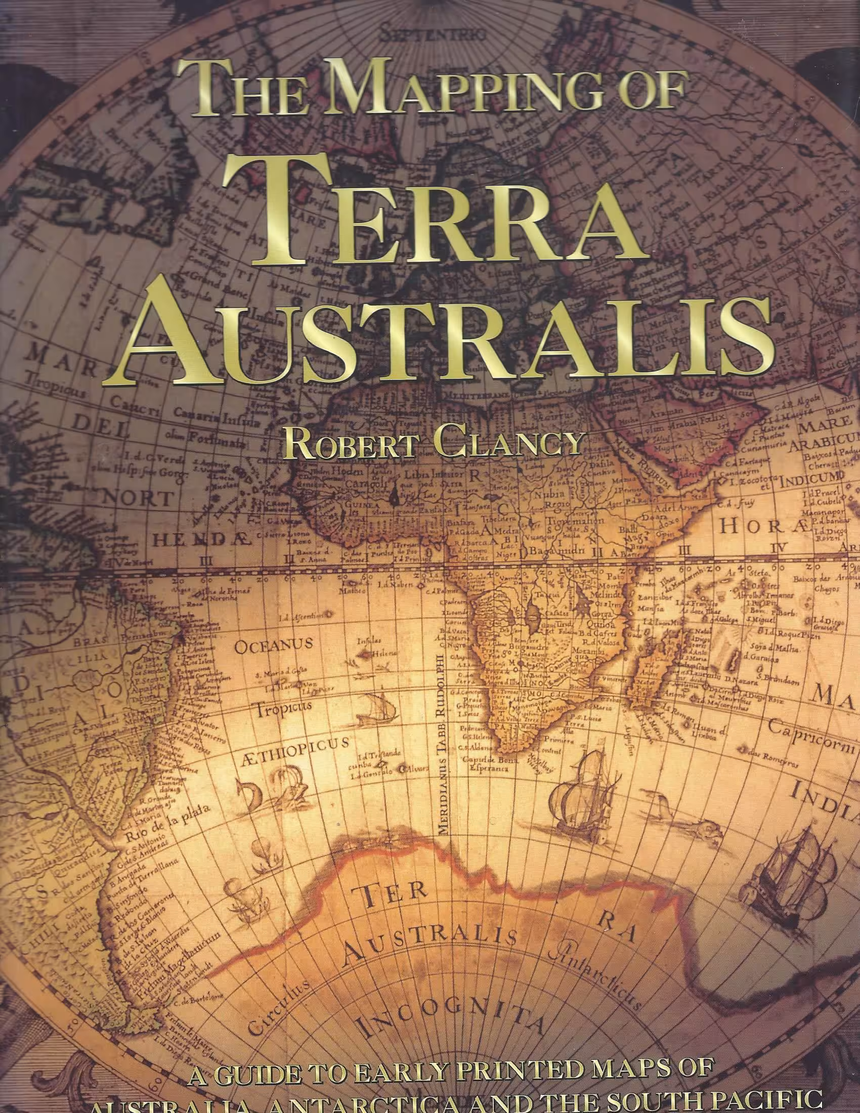
Numerous colour and black and white illustrations. Over hundreds of years historic maps have revealed the changing face of Australia as the puzzle of discovery unfolds,as the coastline, and then the interior of the continent is gradually filled in.
Note: Text body is clean, and free from previous owner annotation, underlining and highlighting. Binding is tight, covers and spine fully intact. Endpapers foxed, text not foxed. Dust jacket is in good condition but has some very faint foxing on interior of flaps.. Dust Jacket un-clipped. All edges clean, neat and free of foxing.


Reviews
There are no reviews yet.